
Maps & measurement · Android
Land Ruler: GPS Area Measure
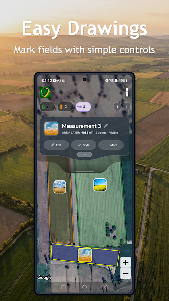
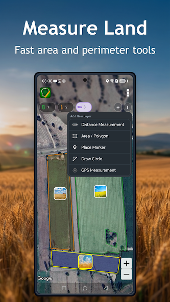
Measure area, distance and perimeter on a map, then save and organize the results as field projects.
Developer: MobileRise Software · Listing checked 30 July 2026
Official store media
See the app.
Map-based area, distance and perimeter estimates organized as reusable projects.
Product capabilities
What you can do.
Map-based area, distance and perimeter estimates organized as reusable projects.
- Map-based area, distance and perimeter estimates
- Saved, editable projects
- Multiple measurement units
- Cloud backup and cross-device sync
- Project sharing and team collaboration
Land Ruler combines map-based area, distance and perimeter estimation with saved projects, cloud sync and project sharing. It is designed for planning and field work; it does not replace a licensed survey, cadastral record, legal boundary determination or marine navigation.
Support & privacy
A clear route back.
Current disclosures are available on Google Play; the 2016 policy is a legacy reference, and account and cloud-service mapping remain under review.